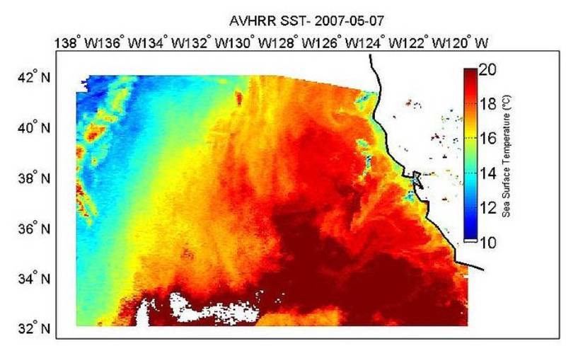
Sea surface temperature from AVHRR
Topics
- Access
- Description
- Parameters
- Coverage, spatial and temporal resolution
- Data quality
- Contact person
- References
- Data citation
Access
UNRESTRICTED:
- Version 5.3: Get data (netCDF) via HTTPS from NCEI
RESTRICTED: This link to the data set is only available for a restricted user group. The data set is only accessible in CEN/MPI net or accessible from external nets with a customer account. Please contact ICDC if you would like to access this data from outside the network.
- Data access via file system: currently none
Description
This is data of a new re-analysis of the AVHRR data archive, developed within the "AVHRR Pathfinder Version 5 SST Project (Pathfinder V5)" at Rosenstiel School of Marine and Atmospheric Science (RSMAS), University of Miami, Fl, NOAA National Oceanographic Data Center (NODC), and NASA Physical Oceanography Distributed Active Archive Center (PO.DAAC). See the data set documentation under references for more information.
Last update of webpage at ICDC: June 17, 2025.
Parameters
| Name | Unit / Comment |
|---|---|
| SST | °C (sea surface temperature) |
| dt_analysis | °C (Difference to SST of previous day) |
| Wind speed | m/s (NCEP/DOE AMIP-II Reanalysis) |
| Sea ice fraction | 0 ... 1 (entweder OSI-SAF or L4 GHRSST DailyOI SST product) |
| ADI | none (Indicator for atmospheric optical depth) |
| quality level | none (GDS2 conform flags, 0 (missing data) ... 5 (best quality)) |
| pf quality level | none (original Pathfinder quality flags) |
| Level 2 data flag | none (Bit-Flag about surface type distribution) |
Coverage, spatial and temporal resolution
Period and temporal resolution:
- 01-11-1981 to 31-12-2023
- Daily, separately for day and night overpasses
Coverage and spatial resolution:
- Global
- Spatial resolution: 4 km x 4 km, cartesian grid
- Geographic latitude: -90.0°N to 90.0°N
- Geographic longitude: -180°E to 180.0°E
- Dimension: 4320 rows x 8640 columns
- Altitude: 0.0 m
Format:
- NetCDF
Data quality
Information is given on the corresponding website at NCEI , at the GHRSST Project Office website, in Kilpatrick et al. (2001) and in Casey et al. (see references). Also the netCDF files contain quality information in form of SST differences to the previous day at the same location as well as two different quality flags.
Contact
Kenneth S. Casey, NODC Satellite Oceanography Group
email: Kenneth.Casey (at) noaa.govGHRSST Project Office
email: ghrsst-po (at) nceo.ac.ukStefan Kern
University of Hamburg
E-Mail: stefan.kern (at) uni-hamburg.de
References
Literature:
- Kilpatrick, K. A., Podestá, G. P., and Evans, R. (2001), Overview of the NOAA/NASA advanced very high resolution radiometer Pathfinder algorithm for sea surface temperature and associated matchup database, J. Geophys. Res., 106( C5), 9179– 9197, doi:10.1029/1999JC000065. https://doi.org/10.1029/1999JC000065
- Casey, K.S., T.B. Brandon, P. Cornillon, and R. Evans: The Past, Present and Future of the AVHRR Pathfinder SST Program, in Oceanography from Space: Revisited, eds. V. Barale, J.F.R. Gower, and L. Alberotanza, Springer, 2010. https://doi.org/10.1007/978-90-481-8681-5_16
Websites:
- Data set documentation: https://www.ncei.noaa.gov/sites/default/files/2020-04/AlgorithmDescription.pdf
- NODC - Information about the data, a User Guide, tools, and data quality, avhrr-pathfinder-sst, NOAA, https://www.ncei.noaa.gov/products/avhrr-pathfinder-sst
- GHRSST Project Office, http://www.ghrsst.org/
- https://pathfinder.nodc.noaa.gov
Data citation, License, and Acknowledgments
Please cite the data as follows:
Version 5.3:
Saha, Korak; Zhao, Xuepeng; Zhang, Huai-min; Casey, Kenneth S.; Zhang, Dexin; Baker-Yeboah, Sheekela; Kilpatrick, Katherine A.; Evans, Robert H.; Ryan, Thomas; Relph, John M. (2018). AVHRR Pathfinder version 5.3 level 3 collated (L3C) global 4km sea surface temperature for 1981-Present. [indicate subset used]. NOAA National Centers for Environmental Information. Dataset. https://doi.org/10.7289/v52j68xx . Accessed [date].