Grounding Line of Antarctic Ice Sheet
Topics
- Access
- Description
- Parameters
- Coverage, spatial and temporal resolution
- Data quality
- Contact person
- References
- Data citation
Access
UNRESTRICTED:
RESTRICTED: This link to the data set is only available for a restricted user group. The data set is only accessible in CEN/MPI net or accessible from external nets with a customer account. Please contact ICDC if you would like to access this data from outside the network.
- Data access via file system: /data/icdc/ice_and_snow/measures_antarctic_groundingline_v02/
Description
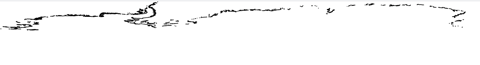
The grounding line of the Antarctic Ice Sheet is that part where the glaciers exporting the ice down the continent loose contact to the ground and become a floating ice shelf. Examples of such ice shelves are the Ronne-Filchner Ice Shelf, the Ross Ice Shelf, and the Amery Ice Shelf.
Accurate knowledge of the grounding line is important for a correct calculation of a) the mass budget of the Antarctic ice sheet and the ice shelves, and b) the amount of melt water released into the ocean due to melt of the ice by the relatively warm water entering the caverns underneath the floating ice shelf.
The retrieval of the grounding line position is based using differential interferometric synthetic aperture radar (DInSAR). Basically one seeks to find the transition zone between the merely constantly downslope moving glacier on land and the floating ice shelf, which is influenced by ocean currents and tides and therefore shows a substantial, temporally variable vertical motion.
This data set (MEaSUREs version 2) is based on data of the following satellite SAR sensors: RADARSAT-1 und -2 SAR, ALOS Palsar, ERS1/2 SAR, COSMO SkyMed, und Sentinel-1A.
Details can be taken from the references down below.
Last update of data set at ICDC: November 4, 2016
Parameters
| Name | Unit |
|---|---|
| latitude | deg |
| longitude | deg |
| satellite sensors and acquistion dates | - |
Coverage, spatial and temporal resolution
Period and temporal resolution:
- 1992 to 2014
- no temporal resolution, composite of data from the mentioned time period
Coverage and spatial resolution:
- Antarctic
- Spatial resolution: variable, 25 m to 120 m, depending on the satellite sensor used
- Geographic longitude: between 0°E to 360°E, about 75% of the Antarctic ground line is covered
- Geographic latitude: south of 60°S
- Altitude: 0.0 m
Format:
- ESRI ArcGIS Shapefile
Data quality
The data set does not contain an uncertainty estimation. Uncertainties in grounding line location are of the order of 100 m and are based on, e.g., i) inaccurate geolocation, and ii) too coarse spatial resolution. Since the data set is based on satellite data acquired at different spatial resolution, the uncertainty of the obtained grounding line position varies. Therefore, the data set lists the used sensor for every grounding line position.
Note: Not the entire Antarctic ice sheet ends in an ice shelf and not all ice shelves are mapped. Therefore the data set does not cover whole Antarctica.
We recommend the documentation and the publications listed in "references" down below for further reading.
Contact
Eric Rignot
University of California, Irvine
Department of Earth System Science
Croul Hall, Irvine, California 92697, USA
email: eric.rignot (at) jpl.nasa.govNSIDC User Services
National Snow and Ice Data Center
CIRES, 449 UCB
University of Colorado
Boulder, CO 80309-0449, USA
email: nsidc (at) nsidc.orgStefan Kern
ICDC / CEN / University of Hamburg
E-Mail: stefan.kern (at) uni-hamburg.de
References
Literature:
- Documentation of the data set at NSIDC, http://nsidc.org/data/nsidc-0498 [last accessed: 2023-02-10]
- Rignot, E., J. Mouginot, and B. Scheuchl. 2011. Antarctic Grounding Line Mapping from Differential Satellite Radar Interferometry, Geophysical Research Letters. 38. L10504. http://dx.doi.org/10.1029/2011GL047109
- Rignot, E., J. Mouginot, M. Morlighem, H. Seroussi, and B. Scheuchl. 2014. Widespread, rapid grounding line retreat of Pine Island, Thwaites, Smith, and Kohler glaciers, West Antarctica, from 1992 to 2011, Geophysical Research Letters. 41. 3502-3509. http://dx.doi.org/10.1002/2014GL060140
- Li, X., E. Rignot, M. Morlighem, J. Mouginot, and B. Scheuchl. 2015. Grounding line retreat of Totten Glacier, East Antarctica, 1996 to 2013. Geophys. Res. Lett. 42: 8049–8056. http://dx.doi.org/10.1002/2015GL065701
- Scheuchl, B., J. Mouginot, E. Rignot, M. Morlighem, and A. Khazendar. 2016. Grounding line retreat of Pope, Smith, and Kohler Glaciers, West Antarctica, measured with Sentinel-1a radar interferometry data. Geophys. Res. Lett. 43: 8572–8579. http://dx.doi.org/10.1002/2016GL069287
Data citation
Please cite the data as follows:
Rignot, E., J. Mouginot, and B. Scheuchl. 2016. MEaSUREs Antarctic Grounding Line from Differential Satellite Radar Interferometry, Version 2. [Indicate subset used]. Boulder, Colorado USA. NASA National Snow and Ice Data Center Distributed Active Archive Center. doi: http://dx.doi.org/10.5067/IKBWW4RYHF1Q. [Date Accessed].
and additionally:
Rignot, E., J. Mouginot, and B. Scheuchl. 2011. Antarctic Grounding Line Mapping from Differential Satellite Radar Interferometry, Geophysical Research Letters. 38. L10504. http://dx.doi.org/10.1029/2011GL047109
Rignot, E., J. Mouginot, M. Morlighem, H. Seroussi, and B. Scheuchl. 2014. Widespread, rapid grounding line retreat of Pine Island, Thwaites, Smith, and Kohler glaciers, West Antarctica, from 1992 to 2011, Geophysical Research Letters. 41. 3502-3509. http://dx.doi.org/10.1002/2014GL060140.
and with the following acknowledgments:
Thanks to ICDC, CEN, University of Hamburg for data support.